A RIGHT ROUND HERE REGIONAL GUIDE

Discover Western Montana

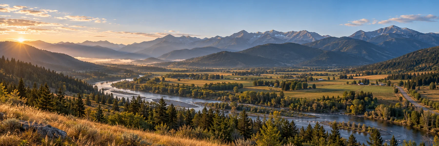
Western Montana is a place of distinct valleys, not one continuous mountain view. Glacier's high country commands attention, but Flathead Lake, the Bitterroot, the Clark Fork and the forests around the Kootenai River each offer a different rhythm. Across the eight counties of Glacier Country, a good journey alternates celebrated scenery with places that help you understand it. A tribal visitor center, a preserved home or a fire-service museum can change what you notice on the next stretch of road.

Inside this guide · Seven local perspectives, five curated photographs and ten places worth your time.Jump to the places

THE REGION, UP CLOSE

A landscape with more than one story.

Our regional lens: Flathead, Glacier, Lake, Lincoln, Mineral, Missoula, Ravalli and Sanders counties.

Glacier National Park rewards choosing a place to spend time rather than simply driving through. The west side gathers visitors around Lake McDonald and Apgar; St. Mary opens another approach from the Blackfeet Reservation on the east. Going-to-the-Sun Road links dramatically different settings, but the park's visitor centers remind you that geography and human relationships belong in the same story. Walks, overlooks and interpretive programs offer different ways to experience the park. The high-country season is shaped by snow, so a lakeside visit can be an experience in its own right.
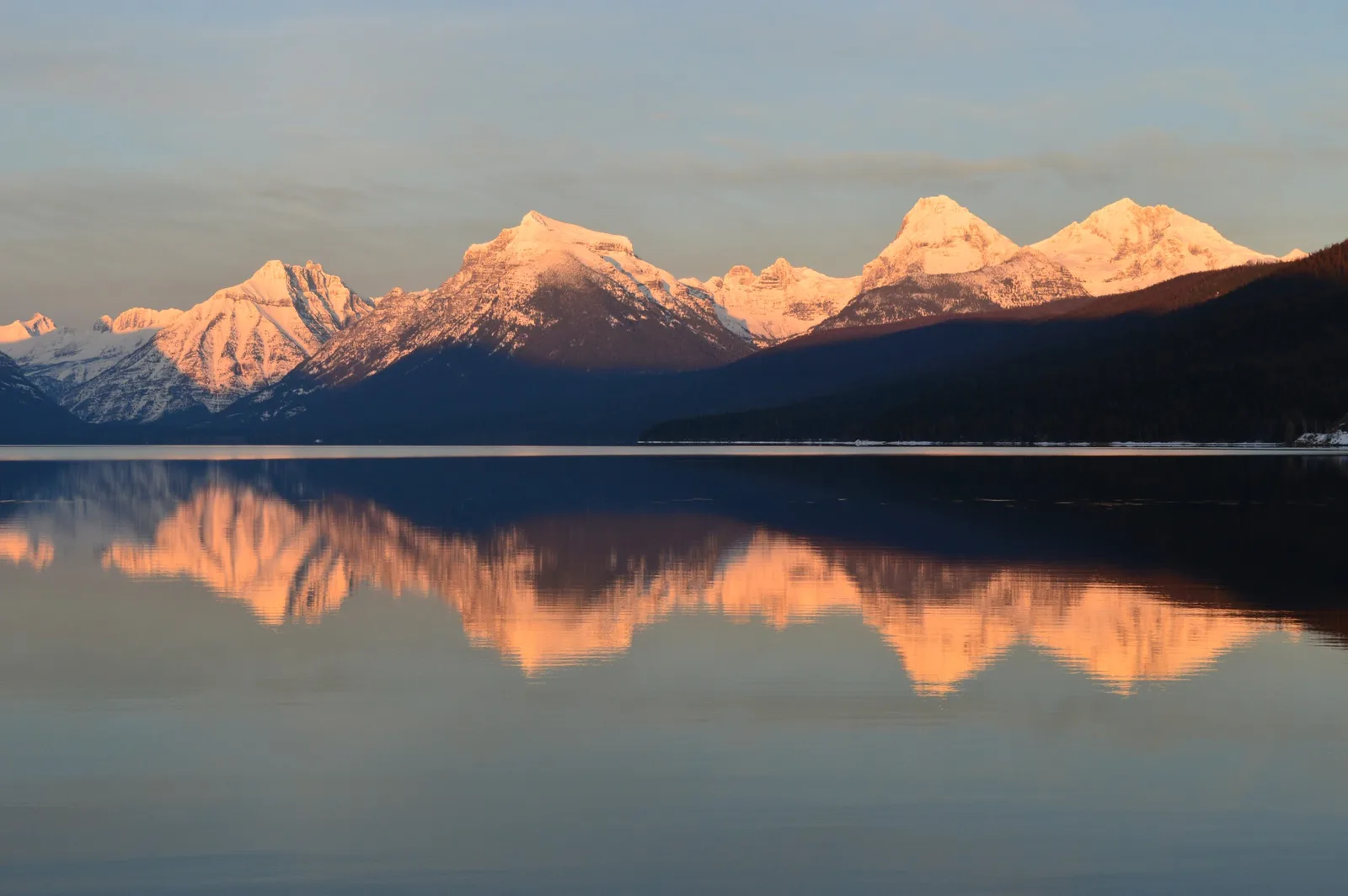
Warmly lit snowy peaks and a dark ridge are mirrored in a still lake.
Winter evening light reflected in Lake McDonald, Glacier National Park.Photo: Lake McDonald with Mt. Cannon, Mt. Brown, Little Matterhorn, Mt. Edwards, and Gunsight Mountain by GlacierNPS / National Park Service. Public domain (U.S. federal government work). Resized and converted for web use.

South of the park, Flathead Lake stretches the pace of travel. At Wayfarers near Bigfork, forest paths and a rocky shoreline make a satisfying day without a complicated itinerary. Continue toward the Flathead Reservation and the CSKT Bison Range, where wildlife viewing takes place within a living tribal homeland. The range's visitor center and scenic drives belong together: one provides context, the other asks you to observe with patience. Bison are part of the encounter, but so are the grasslands, surrounding mountains and the meaning of tribal stewardship.
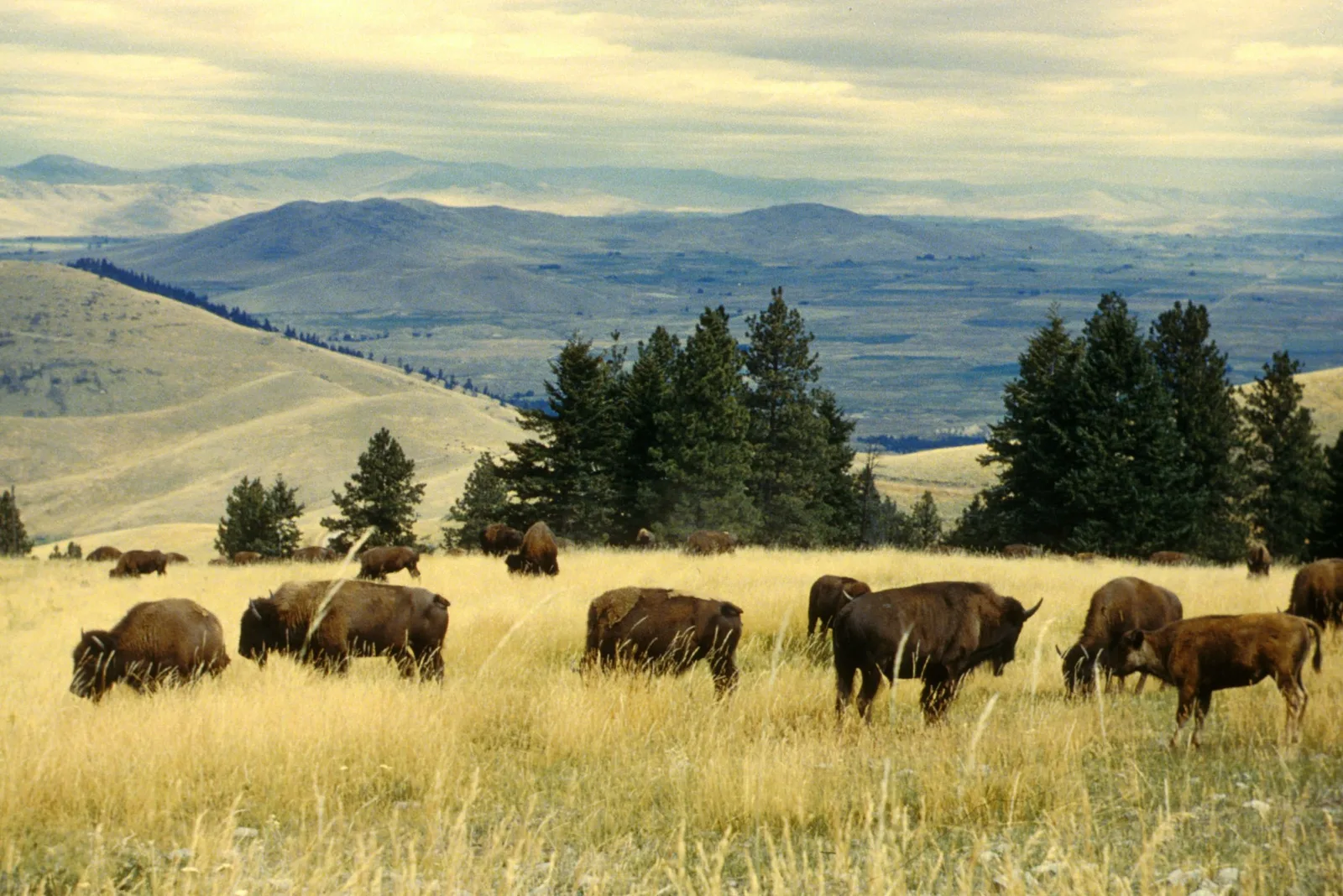
A herd of bison grazes in golden grass with evergreen trees and broad valleys beyond.
Bison graze in the grasslands of what is now the CSKT Bison Range.Photo: National Bison Range scenic2 by U.S. Fish and Wildlife Service Headquarters. CC BY 2.0. Resized and converted for web use.

Missoula's wider landscape can be read through movement and fire. At the Smokejumper Visitor Center, equipment and interpretation explain an occupation that depends on reaching remote wildfires from the air. South in Lolo, Travelers' Rest occupies a much older travel junction, used by Native peoples long before the Lewis and Clark expedition camped there. Archaeological evidence anchors the expedition story, while Salish interpretation places it within a longer history. Put these visits together and the mountain landscape becomes a place of routes, knowledge and difficult practical decisions.
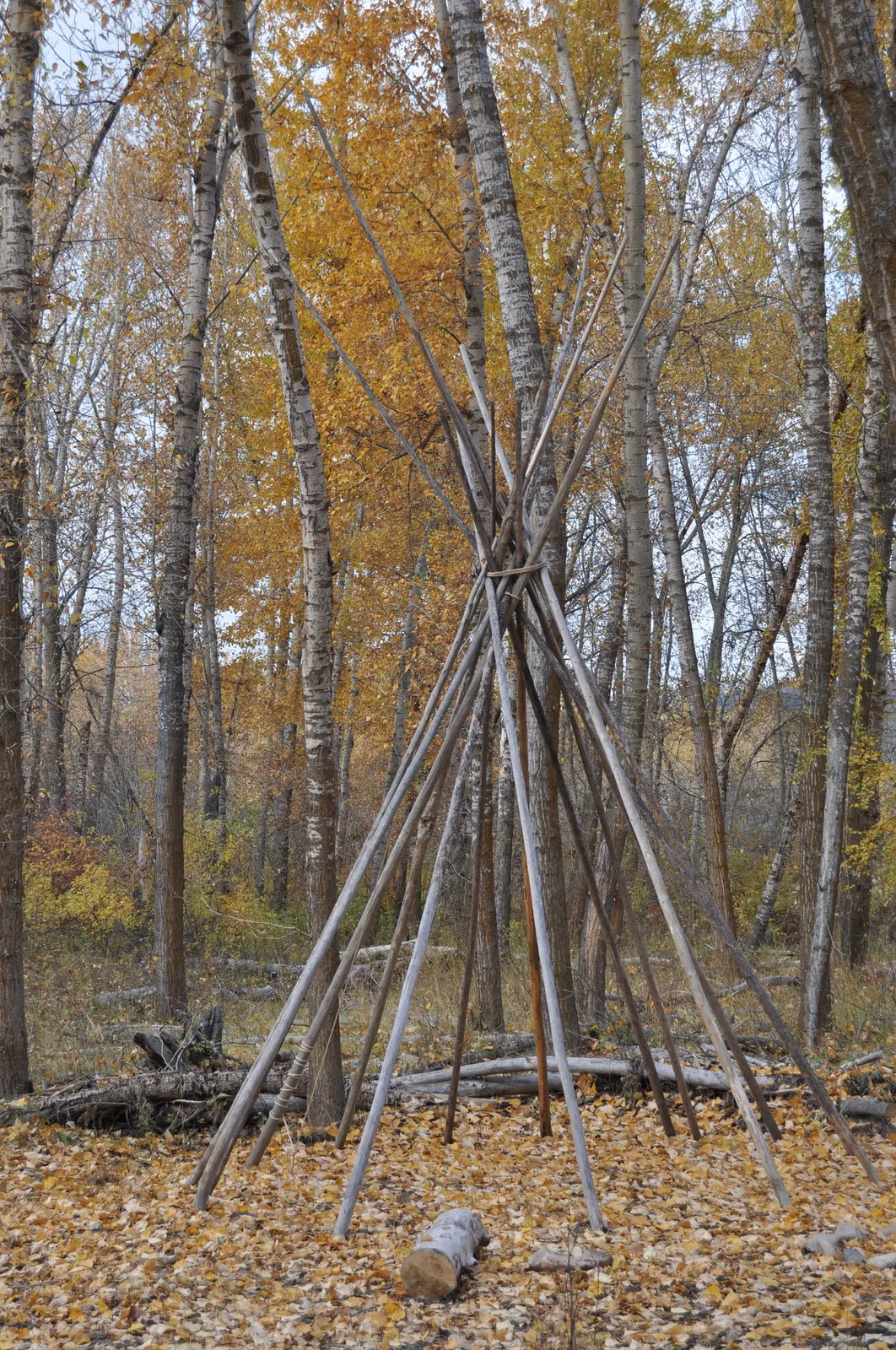
A tall framework of wooden poles stands among pale tree trunks and golden autumn leaves.
Autumn woodland and a tipi-pole framework at Travelers’ Rest State Park, photographed in 2011.Photo: npnht-travelers-rest-state-parkr-lolo-montana-october-2011-rogermpeterson-005 by Roger Peterson / U.S. Forest Service Northern Region. Public domain (U.S. federal government work). Resized and converted for web use.

The Bitterroot Valley offers another connection between scenery and power. Near Hamilton, the Daly Mansion preserves the summer home of a family whose wealth came from Montana's mining industry. Its rooms, successive remodels and extensive grounds reveal how an industrial fortune was expressed far from the mine itself. Looking beyond the grand facade makes the story more interesting: this is also a place of preservation work, recovered objects and community use. The valley's beauty forms part of the setting, but the house explains a particular human relationship to it.
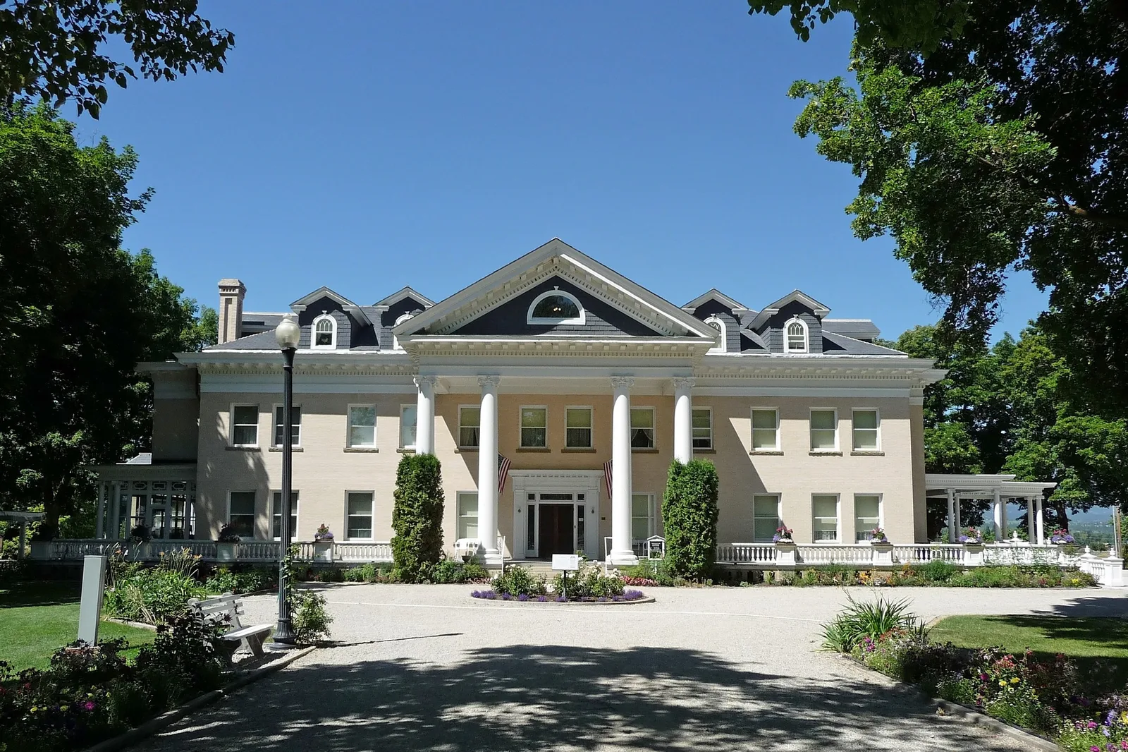
A pale columned mansion is framed by trees, flowerbeds and a shaded drive.
The Daly Mansion near Hamilton in the Bitterroot Valley.Photo: Daly Mansion2 by DAN. CC BY 2.0. Resized and converted for web use.

To the west and northwest, the rivers become excellent traveling companions. Alberton Gorge narrows the Clark Fork into a whitewater canyon, while Thompson Falls State Park offers a quieter riverside setting farther along the valley. In Lincoln County, Kootenai Falls brings force and movement back into the foreground; nearby Ross Creek turns attention to ancient cedars and a sheltered forest atmosphere. These places provide a convincing reason to travel beyond the direct route to Glacier. A river crossing or short woodland walk can become the part of the trip you remember most clearly.
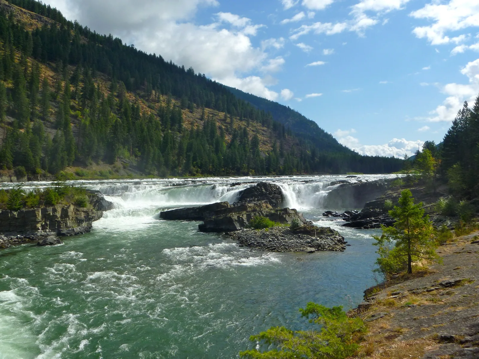
White water flows over broad dark ledges beneath forested slopes and a blue, cloud-filled sky.
The Kootenai River rushes over rock ledges at Kootenai Falls.Photo: Kootenai Falls by Bjorn (DrBjorn). CC BY-SA 2.0. Resized and converted for web use.

Give Western Montana the space its geography requires. Choose a few valleys, let a shoreline or trail occupy a proper afternoon, and include the cultural stops that make each landscape more specific. The pleasure is in the changing scale: from a cedar trunk to a mountain wall, from a museum object to a whole river corridor. Travel this way and Glacier remains a magnificent anchor, while the surrounding towns, tribal homelands and quieter public lands become destinations with their own weight.
MAKE A DAY OF IT

Ten places to explore.

Landmarks, landscapes and local institutions selected to reveal the character of Western Montana.

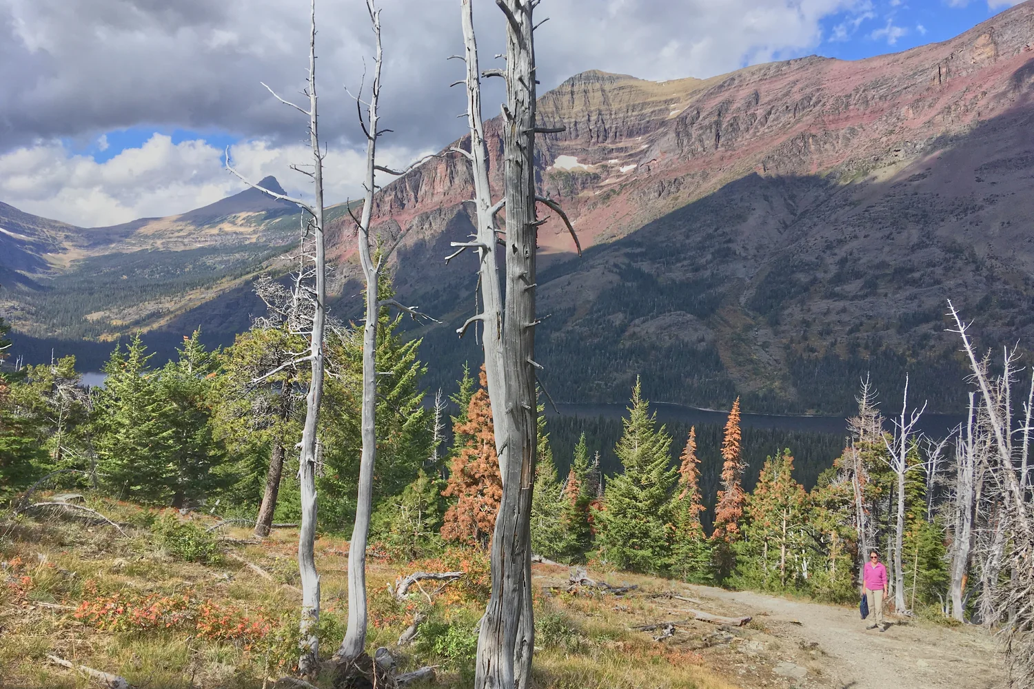
  1. A mountain valley and forest in the Two Medicine area of Glacier National Park.
    Glacier National Park by alex ranaldi · CC BY-SA 2.0 · Cropped, resized and converted for web use.
    Flathead and Glacier counties

    Glacier National Park

    Choose a lake, valley or high-country walk and give it time rather than treating the park as a single scenic drive. Going-to-the-Sun Road connects extraordinary settings, while visitor-center interpretation adds human context. Apgar is a useful western starting point; St. Mary serves the eastern approach.

    Plan your visit
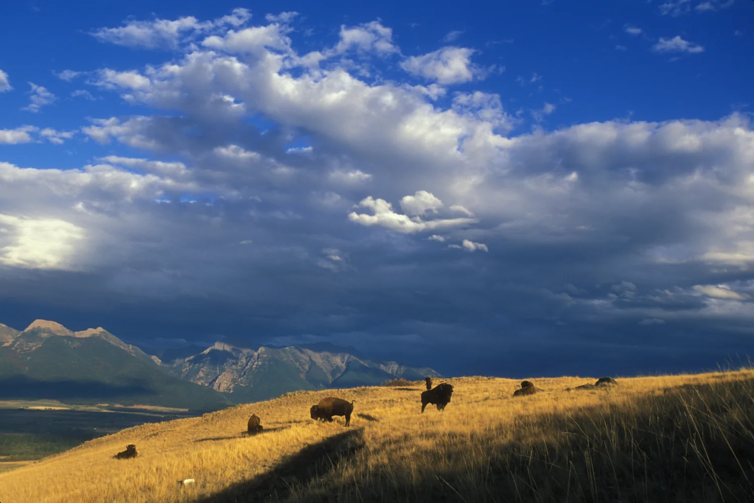
  2. Bison grazing on sunlit hills at the Bison Range below dramatic clouds.
    National Bison Range dramatic scenic by Ryan Hagerty / USFWS · CC BY 2.0 · Cropped, resized and converted for web use.
    Near Moiese, Lake County

    CSKT Bison Range

    Wildlife drives cross rolling grassland within the Flathead Reservation, with mountain views giving the outing a remarkable setting. Begin at the visitor center to understand the range’s tribal context and available routes. Stay inside your vehicle where required and give bison the space their size and behavior demand.

    Plan your visit
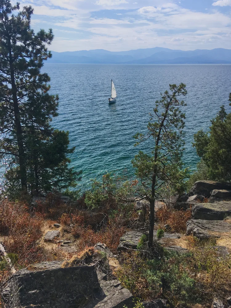
  3. A sailboat on Flathead Lake seen through pines from the rocky shore at Wayfarers State Park.
    Flathead Lake by Alex Ranaldi · CC BY-SA 2.0 · Proportionally resized and converted for web use; no crop.
    Bigfork, Flathead County

    Wayfarers, Flathead Lake State Park

    Forest, rocky shoreline and broad lake views create a compact introduction to Flathead Lake. Walk the paths, find a picnic spot or spend time beside the water without needing a boat. The park lies just south of Bigfork on the northeast shore, making it an easy companion to town exploring.

    Plan your visit
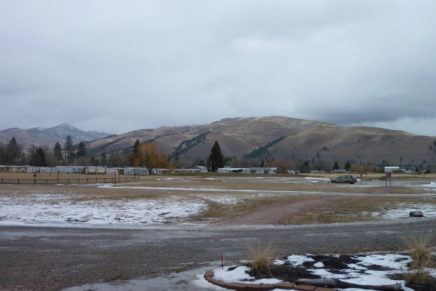
  4. Snow-dusted parkland and mountains viewed from the Travelers’ Rest visitor center.
    Traveler's Rest State Park view of mountains 1 20121228.JPG by Djembayz · CC BY-SA 3.0 · Cropped, resized and converted for web use.
    Lolo, Missoula County

    Travelers’ Rest State Park

    Walk a place used by Native peoples for centuries and later by the Lewis and Clark expedition. Archaeological evidence and Salish interpretation make this a particularly thoughtful historical stop. Begin at the visitor center, then follow the trails along Lolo Creek to place the stories in their landscape.

    Plan your visit
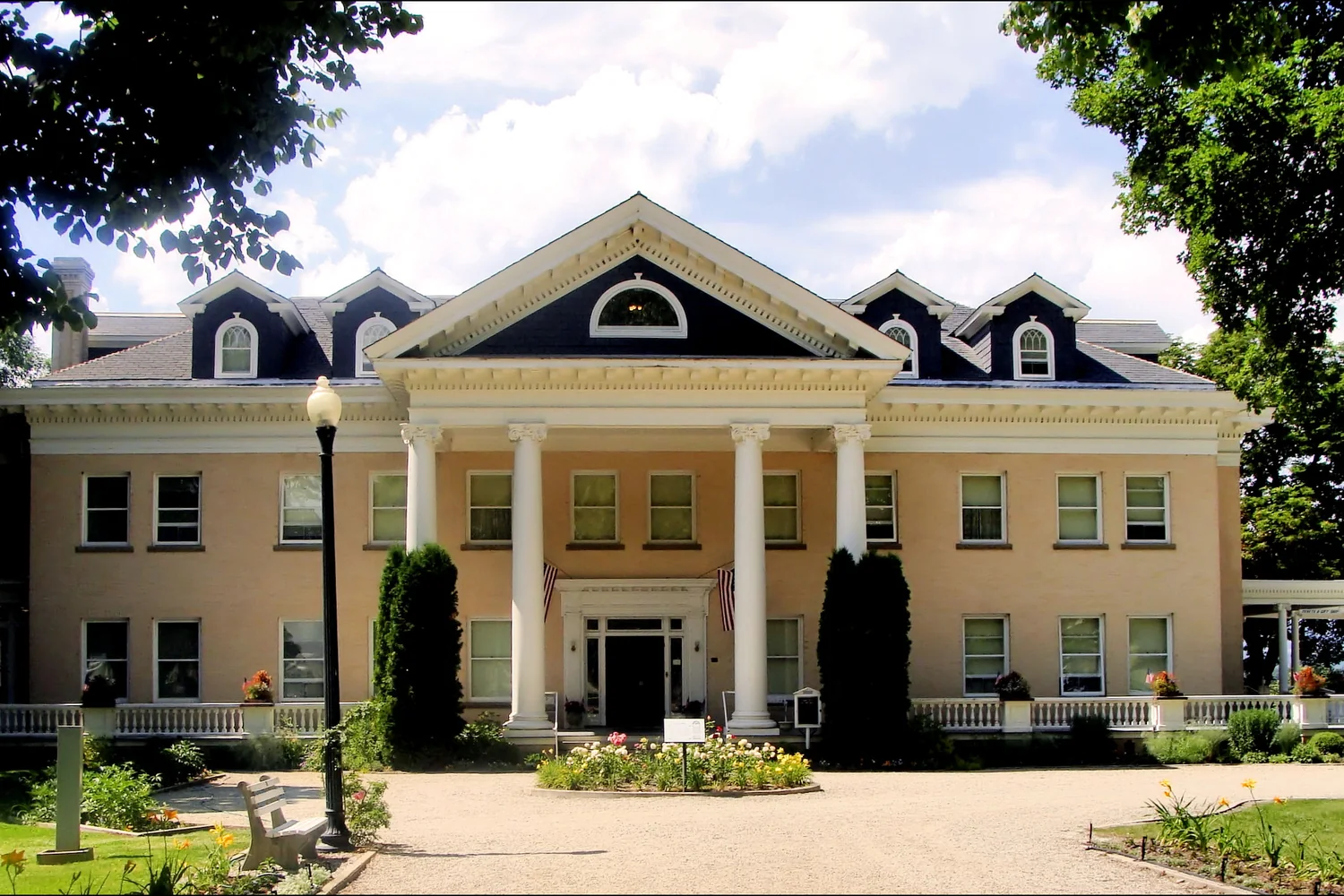
  5. The classical portico and garden at Daly Mansion.
    16414 Daly Mansion Front Entrance by Raymond Hitchcock · CC BY-SA 2.0 · Cropped, resized and converted for web use.
    Hamilton, Ravalli County

    Daly Mansion

    Explore a grand home whose architecture and grounds express the reach of Montana’s mining fortunes. The preservation story adds another layer, showing how a closed house became a public cultural resource. The mansion is on Eastside Highway near Hamilton; interior access is through the property’s tour program.

    Plan your visit
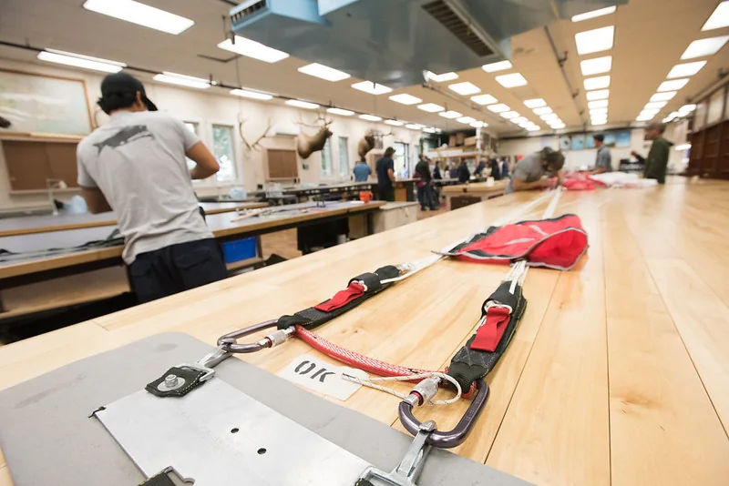
  6. Parachute equipment laid across long worktables in the Missoula smokejumper loft.
    Missoula

    Smokejumper Visitor Center

    Equipment, a historic lookout and tours of a working smokejumper base illuminate a demanding form of wildfire response. The attraction gives forest country a practical human dimension. It is near Missoula’s airport, so it fits naturally at the beginning or end of a regional trip; guided access is seasonal.

    Plan your visit
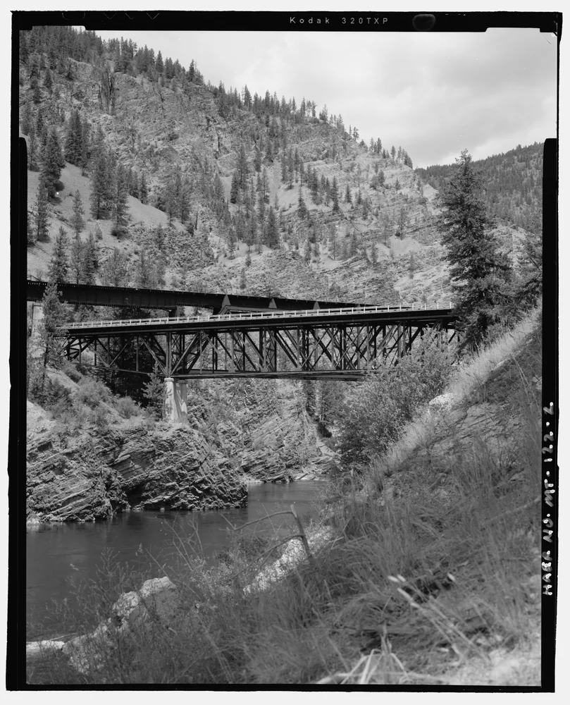
  7. Black-and-white view of the Clark Fork River and rocky walls of Alberton Gorge beneath the Scenic Bridge.
    Clark Fork River, Mineral County

    Alberton Gorge

    Steep canyon walls and whitewater make this a memorable river outing west of Missoula. The run connects the Cyr and Tarkio access points, with scenery that is best experienced from the water. A local outfitter can match a guided trip to the river conditions and your group’s experience.

    Plan your visit
  8. Autumn trees reflected in the Clark Fork River at Thompson Falls State Park.
    Fall on the Clark Fork by LukeDetwiler · CC BY 2.0 · Cropped, resized and converted for web use.
    Thompson Falls, Sanders County

    Thompson Falls State Park

    A shaded riverside setting offers a quieter way to enjoy the Clark Fork Valley. Nature walks, birdwatching and a family fishing pond give different generations room to find their own pace. The non-motorized riverside trail connects with the route toward town, making the park more than an isolated campground stop.

    Plan your visit
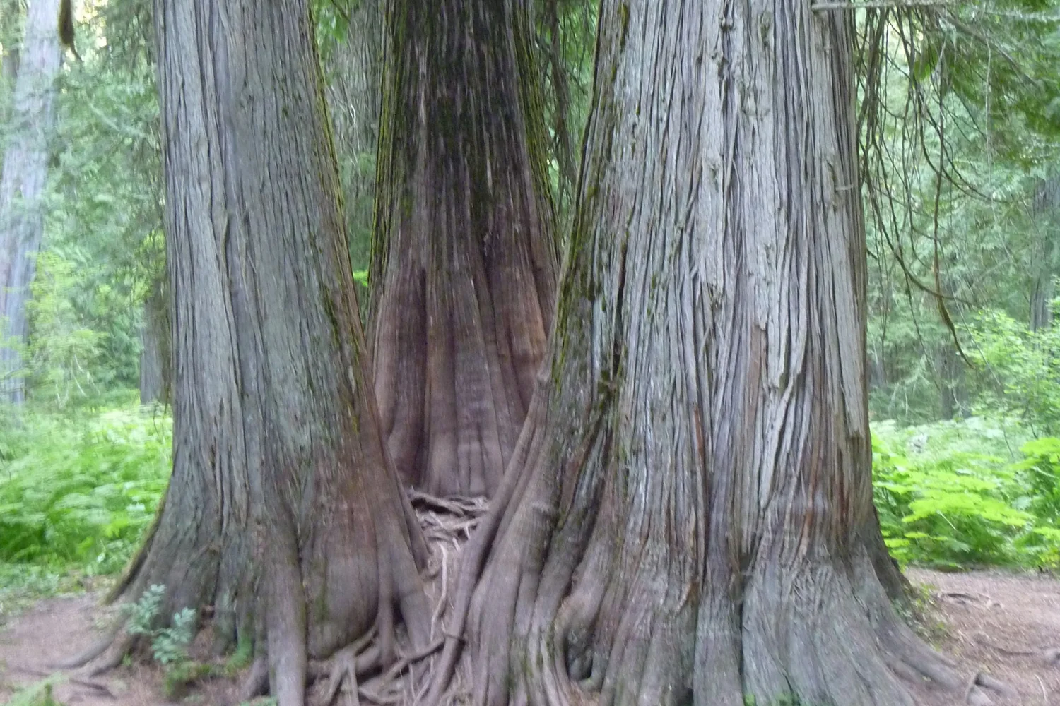
  9. Massive cedar trunks in the Ross Creek Cedar Grove.
    Triple Tree by DrBjorn · CC BY-SA 2.0 · Cropped, resized and converted for web use.
    South of Troy, Lincoln County

    Ross Creek Cedar Grove Scenic Area

    Walk beneath enormous western red cedars in a cool, sheltered forest that feels very different from Montana’s open valleys. The short nature route offers interpretation and places to pause, with longer walking possibilities beyond. The approach leaves Highway 56 for a winding forest road; trailers belong at the lower parking area.

    Plan your visit
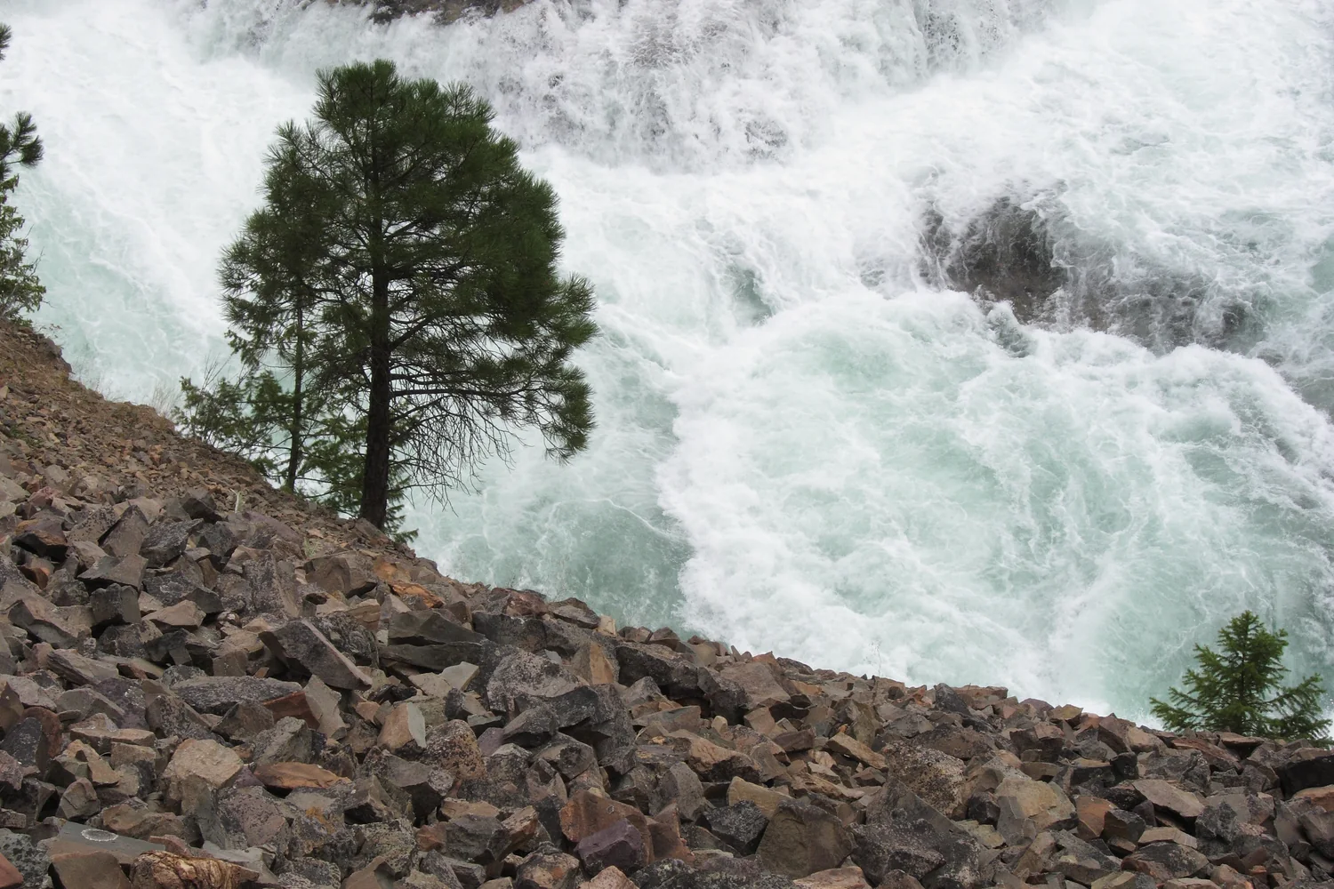
  10. Powerful whitewater and a riverside tree at Kootenai Falls.
    Kootenai Falls 01 by jtbradford · CC BY 2.0 · Cropped, resized and converted for web use.
    Between Libby and Troy, Lincoln County

    Kootenai Falls and Swinging Bridge

    A powerful river and suspension footbridge make this a striking stop along the U.S. 2 corridor. Walk to the designated viewpoints and let the water’s movement supply the drama. The uneven riverside landscape calls for careful footing; the bridge and falls are viewing destinations, not an invitation to approach the current.

    Plan your visit

PUTTING DOWN ROOTS?

Local help for the practical side of life.

Whether you are visiting, newly arrived or caring for a longtime home, the Right Round Western Montana service directories make useful local options easier to find.

Explore local services